Asiaأ¢â‚¬â„¢s Third Geopark In Malaysia

|

|
www.nst.com: Pulau Langkawi is the world’s 52nd Geological Park and the first in the South East Asia, following an official inception in the Unesco Global Network Geoparks on June 1.
The 99-island archipelago makes Malaysia the third country in Asia, after China and Iran, to have a geological park or geopark. The largest concentration of geoparks is in Europe.
The title encompasses all the unique facets of Langkawi, including the colourful lifestyle and culture, the amazing biodiversity and unique geological make-up of the landscape.
Unesco defines a geopark as a “territory encompassing one or more sites of scientific importance, not only for geological reasons but also by virtue of its archaeological, ecological or cultural value”.
Experts from Unesco visited the island in late March to make their assessment and will table their findings at the second International Symposium Development Within Geopark Environment Protection and Education in China.
Langkawi prides itself on the 550 million-year-old Gunung Mat Chinchang range, fossilised remains of pre-historic sea creatures and insects and impressive geological rock formations.
With these, Langkawi has the potential to be one of the best such geoparks in the world.
|
| Back to main page
|
|
|
|
|
|
|
|
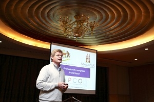
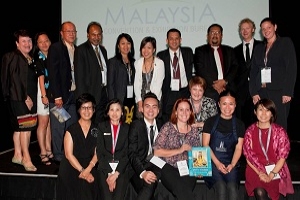
World Islamic Tourism Mart / Malaysia
WITM 2012 InCoMTHU Conference will feature quality and world renown speakers not only from Malaysia but from around the globe. In its 6th Year, the WITM InCoMTHU Conference 2012 will have speakers fro (16/05/2012)
|
|
|
|
|
|
Showing 12 news articles
Back
To Top
|
|
.jpg)